
Beiträge von Eik209_C160
-
-
Jeppesen Charts to the Flight Simulation Community
Here at Navigraph we have been deliberately secretive about our upcoming charts product, and only presented a few of the new features on our developer blog. However, as we are approaching launch date, and still have some more features to show, we are now ready to unveil the greatest improvement to Navigraph Charts to date: In the next version of Navigraph Charts, all chart data will be provided by Jeppesen.
Enhanced SID and STAR Chart Format
The new version of Navigraph Charts will display Jeppesen’s new and enhanced SID and STAR chart format featuring, among other things, colored topography and true-to-scale depiction.
he new format has several improvements which we will cover in a separate blog post later on. However, in the picture above, you can see the regular grid of Minimum Off Route Altitudes (MORA), the red Minimum Sector Altitude (MSA) circle, navaid symbology and associated speed restrictions in red text. Charts and NavData from One Source
Navigraph Charts will also contain enroute charts that are dynamically rendered based on Jeppesen NavData. Using Jeppesen as a provider for all data will ensure synchronized information between airport charts, enroute charts, addon data formats, and any other data displayed in Navigraph apps and software. The enroute charts will also, to a great extent, use the symbology of the enhanced SID and STAR chart format. Chart updates will follow the regular 28-day AIRAC cycle.
Features Enabled by the Jeppesen Format
The new Jeppesen charts format will add many benefits and enable additional functionality requested by our users to the Navigraph Charts software. First and foremost, the coverage will dramatically increase to 6,784 airports. This is the most comprehensive coverage available. Secondly, with the Jeppesen chart format we can now offer charts in a darker night mode color scheme. Thirdly, since Jeppesen charts are generally geo referenced and true-to-scale, we will be able to place an ownship overlay (“moving maps”) on top of the charts, aiding situational awareness during a flight. User Preference
In addition to the user requested features that were technically made available through the Jeppesen chart format, the change to Jeppesen is also based on the results of our user survey where a majority of 2,200 participants reported being the most familiar with Jeppesen charts, and preferring the Jeppesen format among four different chart formats. Want to keep getting updates about these developments?
Please make sure you have a current and valid e-mail address registered in your Navigraph Account settings. Don’t have a Navigraph account? Register at http://navigraph.us10.list-manage.com/track/click?u=…18&e=0b1a500d82 No purchase needed.Frequently Asked Questions
Q: Is there a release date?
A: Not yet, but it will be soon. The new apps are in beta testing. Q: Will these new products affect pricing?
A: The final pricing has not yet been released. We do not anticipate a significant change from the current pricing. Q: Will you honor my current subscription?
A: Yes, all current Charts and Ultimate subscriptions will be honored in full also after the release of the new system. Q: Will we also be able to access the previous chart format?
A: The new apps will only have Jeppesen charts. Q: Will all charts have night mode versions?
A: Yes. Q: Jeppesen is in the process of enhancing the SID and STAR charts as per http://navigraph.us10.list-manage1.com/track/click?u=…59&e=0b1a500d82. Will you provide these?
A: Yes. Q: Will all charts be geo-referenced?
A: Many charts, but not all. In general, approach charts and ground/taxi charts are geo-referenced. In addition, the enhanced SID and STAR charts (as per above) will also be geo-referenced. Q: Will you provide both IFR and VFR charts?
A: Currently we will only provide IFR charts.
Additional Questions?
Do you have any additional question which was not answered here above? Please post in our Support Forum, under General Support > Next Version of Navigraph Charts. You will need a free Navigraph Account to post. Register here first. All for now,
The Navigraph Development Team
-
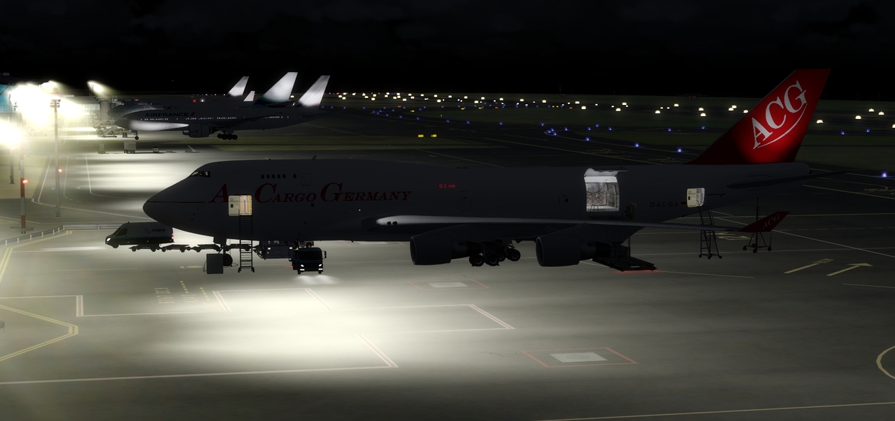
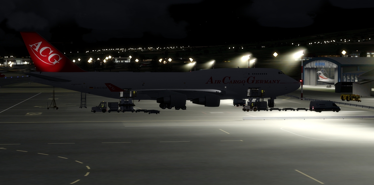
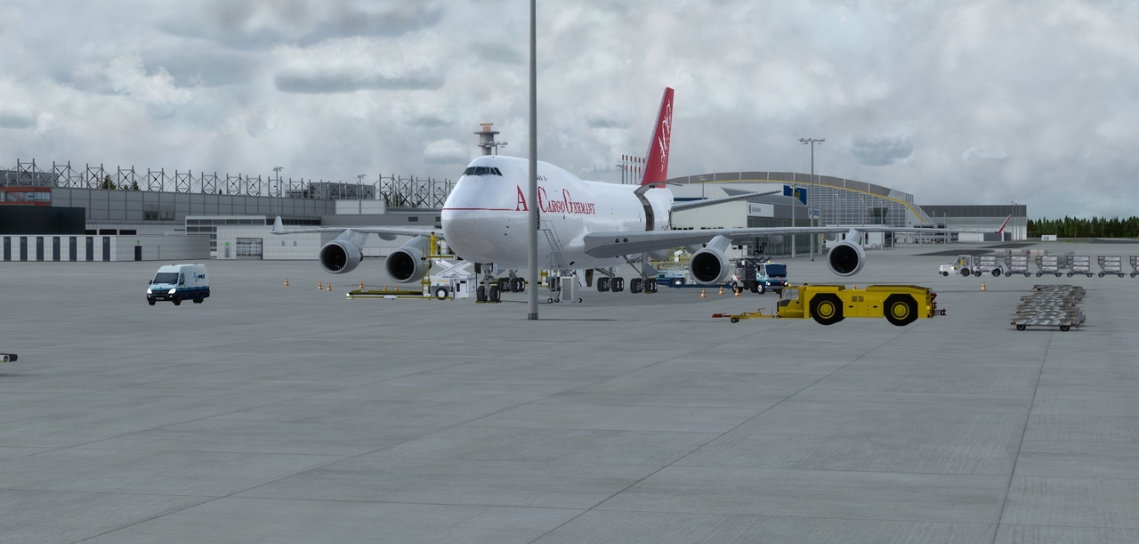
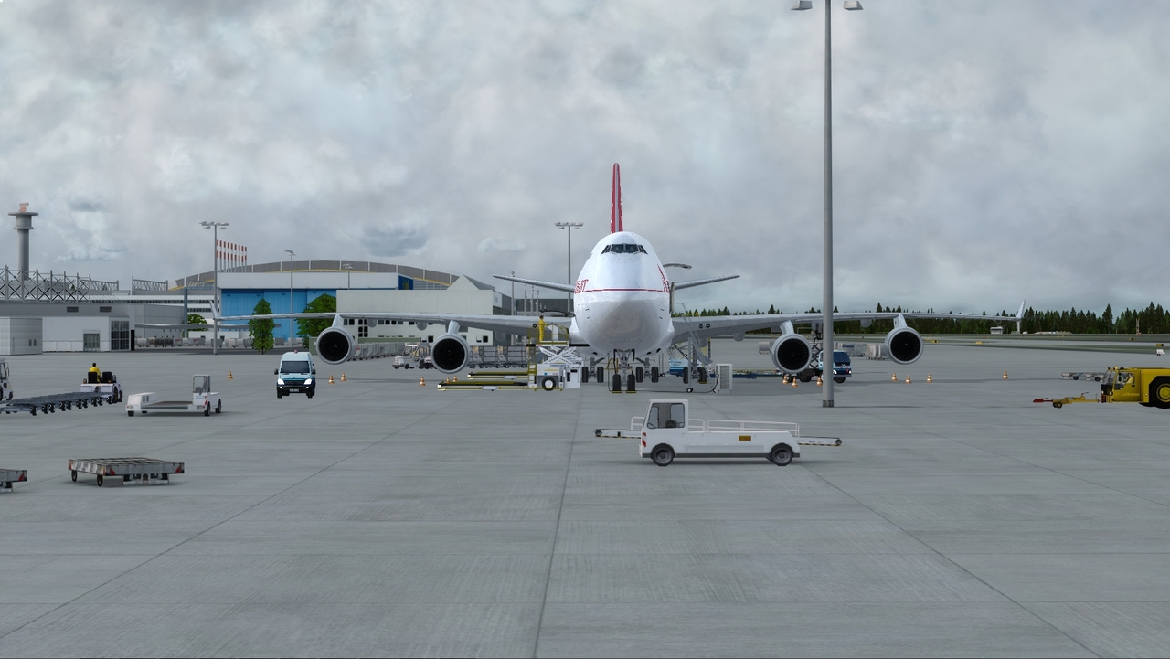
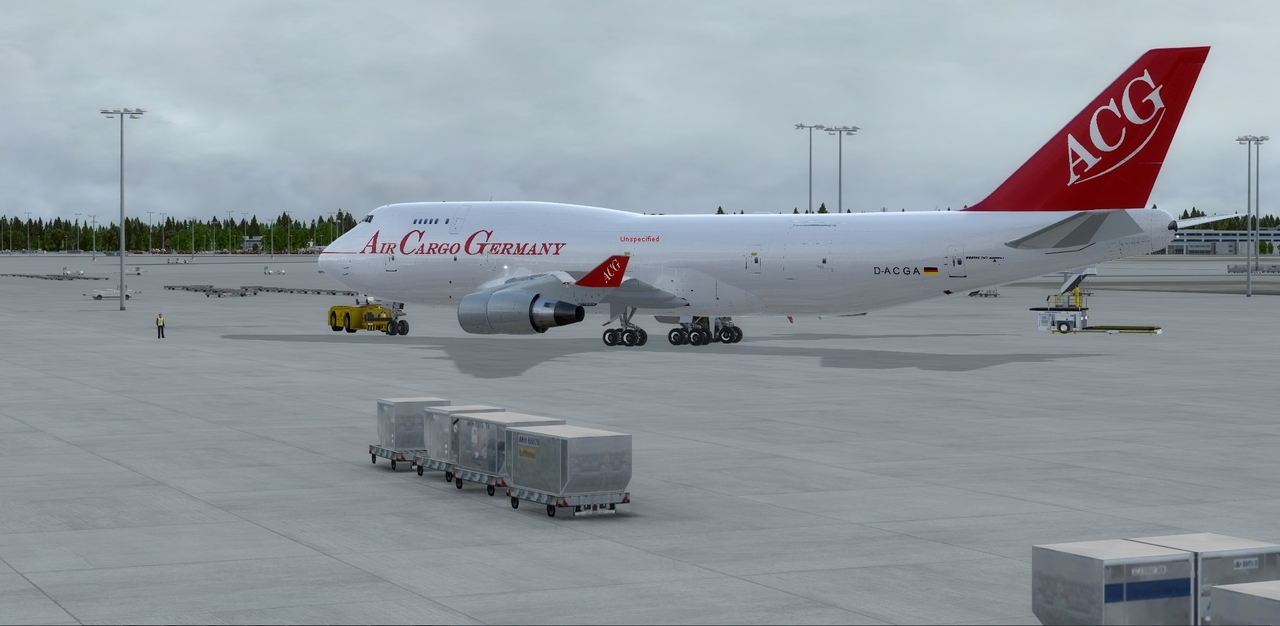
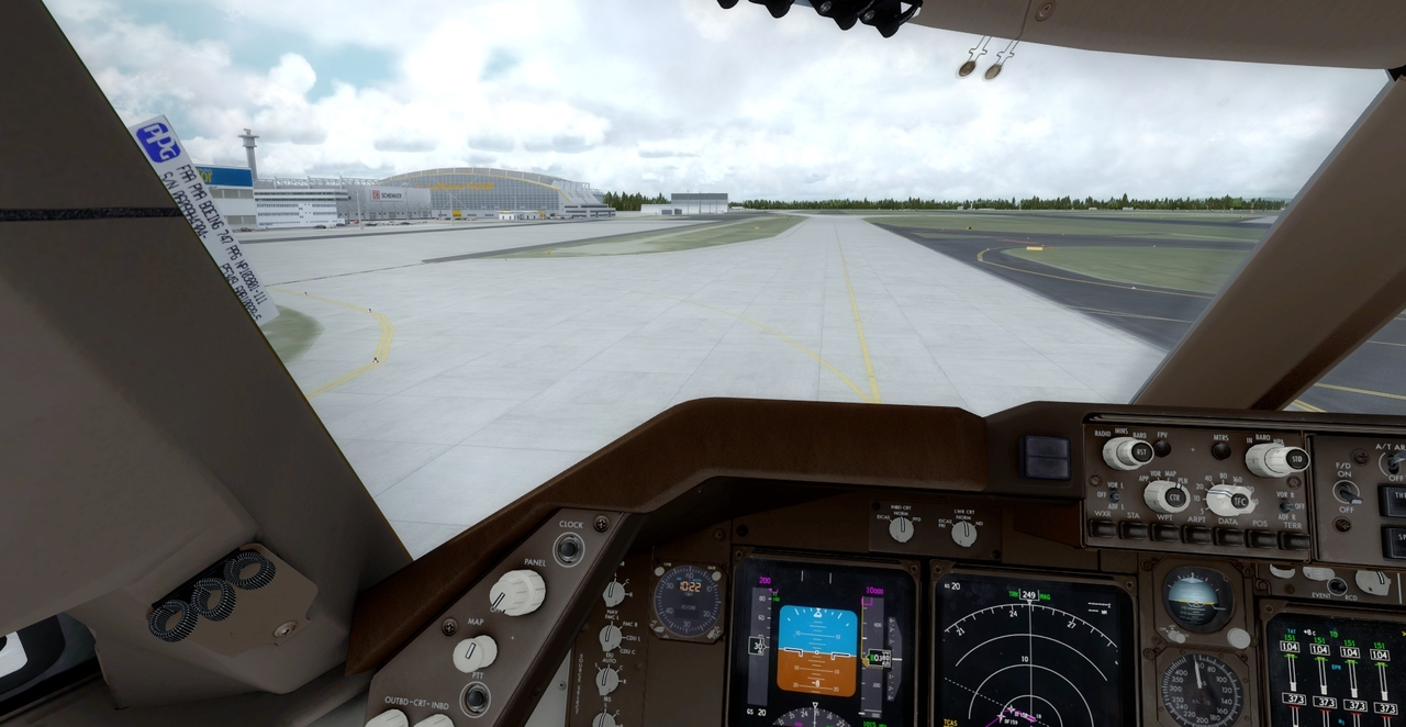
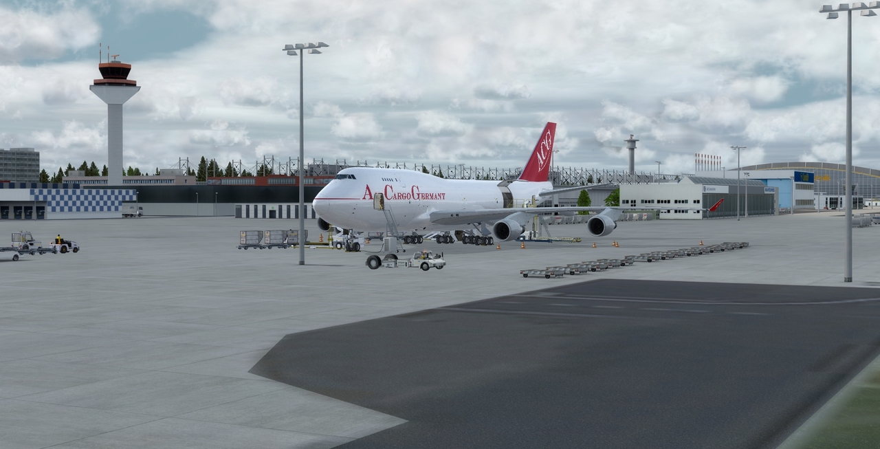
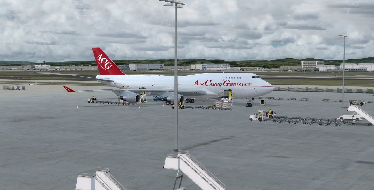
so heut gings dann wieder los in EDDF
-
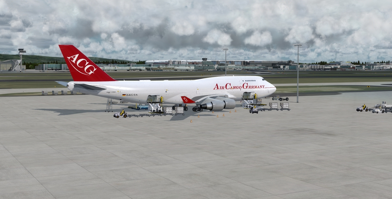
Meine ist bereit in Frankfurt...
-
Code
Alles anzeigen(FPL-ACX209-IS -B744/H-SDE3FGHIM1M2RWXY/LB1 -EDDF1010 -N0496F290 NOMB1A NOMBO Y161 MAH UZ380 MUN UM867 GILUK UN132 KEA UL607 GESAD L551 DBA B12 KATAB/N0494F310 P751 ALEBA UP751 TOKAR A451 BARKU W180 SB A451 SB41 UA451 DEKRA P751 PARIM UN303 HARGA UR775 ALNAB/N0504F330 UR775 BERIL/N0502F350 UR775 MAROF UG661 ANVOR DCT DOBUT DOBU4E -FMEE1019 FIMP -PBN/A1B1D1O1S2 DOF/170322 REG/DACGA SEL/EHAR EET/EDUU0014 LOVV0031 LJLA0041 LDZO0050 LQSB0053 LYBA0113 LAAA0120 LWSS0127 LGGG0134 HECC0232 HSSS0405 HHAA0435 HAAA0526 OYSC0528 HAAA0529 HCSM0539 HAAA0556 HCSM0625 FSSS0708 FMMM0815 OPR/ACX RALT/HDAM RMK/KUMI) -
Das kann der Jarschi doch Garnicht

-
Naja ich glaube schon, dass die Firma die dahinter steckt schon ein wenig Ahnung von der Fliegerei und es immerhin erstmal ein Konzept ist, von daher ist die Idee und das Konzept schon sehr interessant, da es zum herkömmlichen Flughafen etwas weniger Platz bedarf!
-
Also bin auch Fan von Ghost Recon, leider fehlt mir die Zeit für solche Spiele, werde es mir aber wohl auch zulegen!
-
Pass mal den Threat - Titel an KlabautAIR sonst meckert der Jupp
-
1. bis nächste Woche
-
Hallo Eik, leider funktioniert der Link bei mir nicht. "Zugriff verweigert" steht dort

Naja den weg hast ja trotzdem gefunden

-
Schön wärs, aber ich glaube selbst die Polen mit ihrem neuen AIRPORT sind schneller

-
hier der link @Julia97 Discord - der neue 'TS'
Cam brauchst du da nicht es sein denn es soll sich jemand was bei der aus der ferne anschauen, dazu kann man dann Skype oder Teamviewer nehmen!
-
Ja preislich wirst du dann wohl mit Saitek fahren schau mal bei eBay dort findest du welche zum guten Kurs! CH-Products sind halt wie schon gesagt robuster meiner Meinung nach! Aber du machst auch mit saitek nichts flasch!
-
Dem stimme ich zu, ich benutze CH Yoke u. Pedals!
-
Welchen nutzt ihr denn?
-
2. dabei mit was kurzem
-
Geil geil geil hat Spaß gemacht und mir Großgerät gar nicht mal so einfach

-
Gruppenfoto
!
-
Aus San Juan unterwegs..
ein paar Zellen...